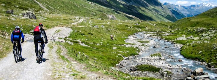
Biking in Colorado and becoming one with the mountains, rivers and streams is an experience everyone should have. The fresh air of the mountains, biking at elevations over 9,000 feet and witnessing views only some will see in a lifetime is a must do.
Whether you take a bike tour or rent your own bike, don’t miss the bike paths throughout Summit County Colorado including biking thru Breckenridge or Breckenridge to Frisco or up to Copper Mountain and the on to Vail. Bike around scenic Lake Dillon over to Keystone. There are plenty of bike shops that will outfit your whole family from touring bikes to mountain bikes or hire a professional bike touring company to take you on the most scenic routes and trails and share the history.
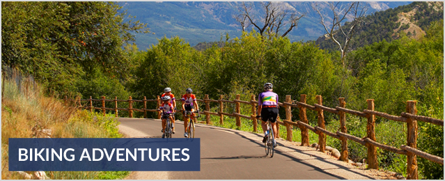
Stay on our website www.coloradomountainactivities.com and check out Colorado adventures, biking adventures as well as checking out the list of rental shops in Summit County.
Following is a list of some of the best area rides:
Around Lake Dillon:
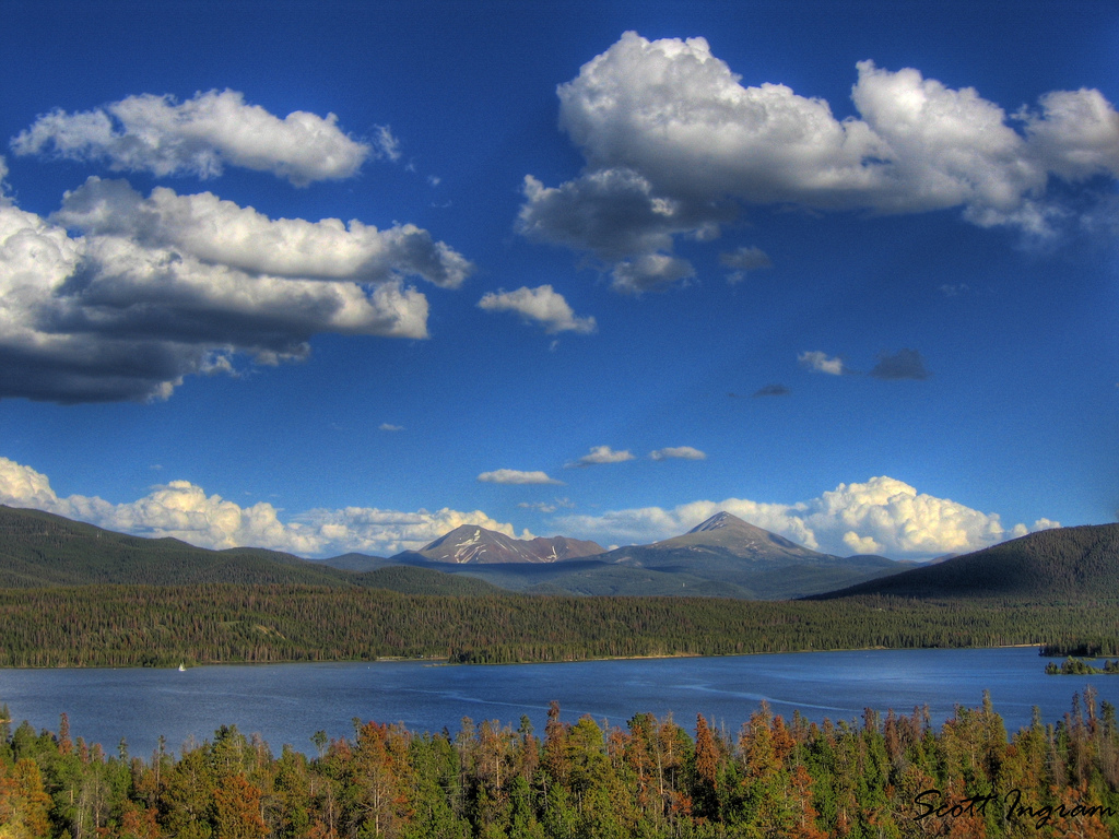
This is a 18-mile, 1,100' climb. The ride has one significant climb and descent over Swan Mountain.
Start at the Frisco Marina or Dillon amphitheater or go round trip from Breckenridge for a 31-mile ride with a 1,600' climb.
The path will climb up Swan Mountain through the woods and descend briefly to where it crosses Swan Mountain Road and continues on the other side. Be careful at this intersection! Stop and look!
Once at the top of Swan Mountain road you will find the Sapphire Point parking area. There is a walking path that takes you to a spectacular view at Sapphire point. The bike path continues on the far side of the lot for about 200 yards before ending at the road. Descend in the downhill traffic lane with windy turns and fast speed.
At the bottom across from the high school, go through the stoplight to resume the bike path on the right just past the light. Turn right at the T intersection onto the main path running behind the high school (turn left to return to Breckenridge). The path climbs a short hill through the woods and around the back of the hospital. A straightaway with numerous turn-offs to the right including a path north of the County Commons, Miner's Creek Road, 2nd and 7th streets lead to Frisco Main Street and back to the Marina.
Breckenridge to Copper:
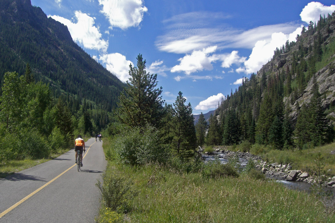
This is a 30-mile round trip ride from Breckenridge with about 1,400' of climbing, mostly between Frisco and Copper Mountain resort.
Starting from the Breckenridge recreation center, the path heads to Frisco. The path continues around the west side of Frisco and heads to Copper Mountain.
The trail to Copper is tucked in the woods in Ten-Mile Canyon along an old rail route.
The Copper Triangle:
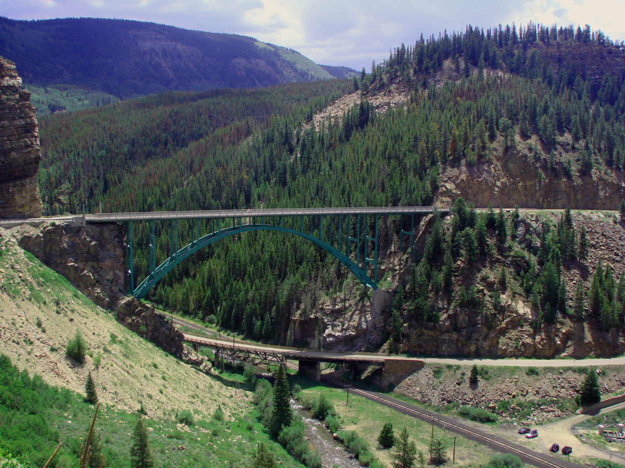
The "Copper Triangle" is a truly classic Colorado mountain route that can be ridden in either direction. It is a beautiful ride in mid-late September when the Aspens are at the peak of their fall color.
The ride starts at the Copper Mountain Resort . If riding clockwise, the route heads south on Highway 91 over Fremont Pass past the Climax Molybdenum mine and then descends on through the valley to the north end of Leadville.
Turn northwest on Highway 24 where you will pass the remains of the training camp for the famed 10th Mountain Division of WWII before climbing Tennessee Pass and Battle Mountain, and descending down to Minturn, the low point of the ride.
A bike path then starts just north of I-70 to head back east through Vail, over Vail Pass and back to Copper Mountain Resort. The ride covers 79 miles and 5,900' of climbing.
Freemont Pass:
Fremont Pass is the summit and is the site of the Climax molybdenum mine and is the Tour de Tailing Ponds. The mine has been shut down for a number of years, but recently is being re-commissioned.
The summit is a 11 mile ride from Copper Mountain making for a 22-mile round trip with ~2,000' of climb from the Conoco station at Copper.
Frisco to Dillon:
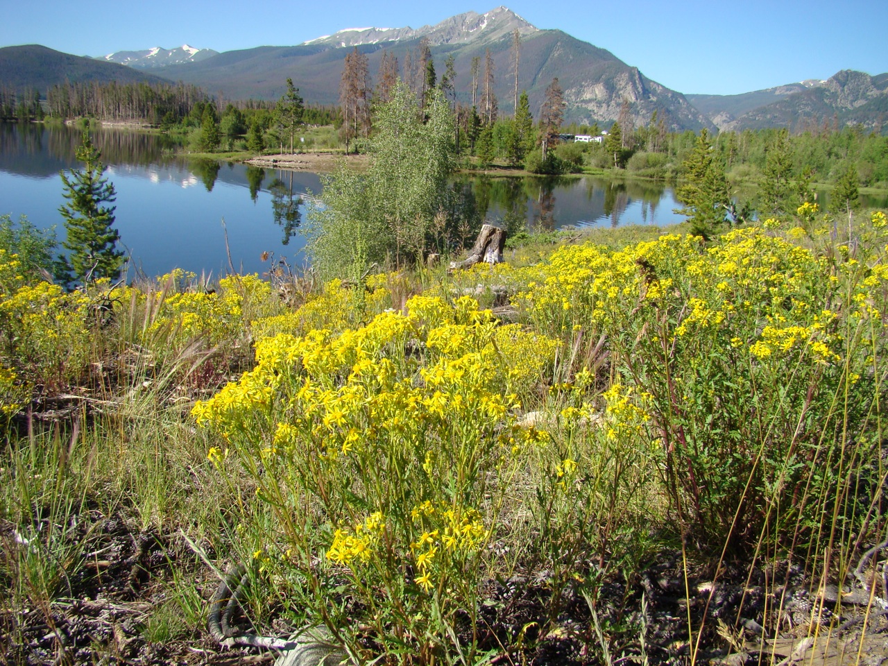
This easy easy cruiser ride (at least in Summit County), is a 13-mile round trip ride with 550' of climb on mostly gently rolling hills on the path takes you from the Frisco Marina across the Lake Dillon dam to Dillon.
The bike path begins next to the cemetery at the Marina. The path winds around the shoreline of Lake Dillon passing the middle school and weaving around the wetlands. The path parallels the Dam road for a moment then heads back onto a separate rolling path with views of the lake on every corner. The path follows a series of up and down rollers passing the Heaton Bay Campground.
Independence Pass:
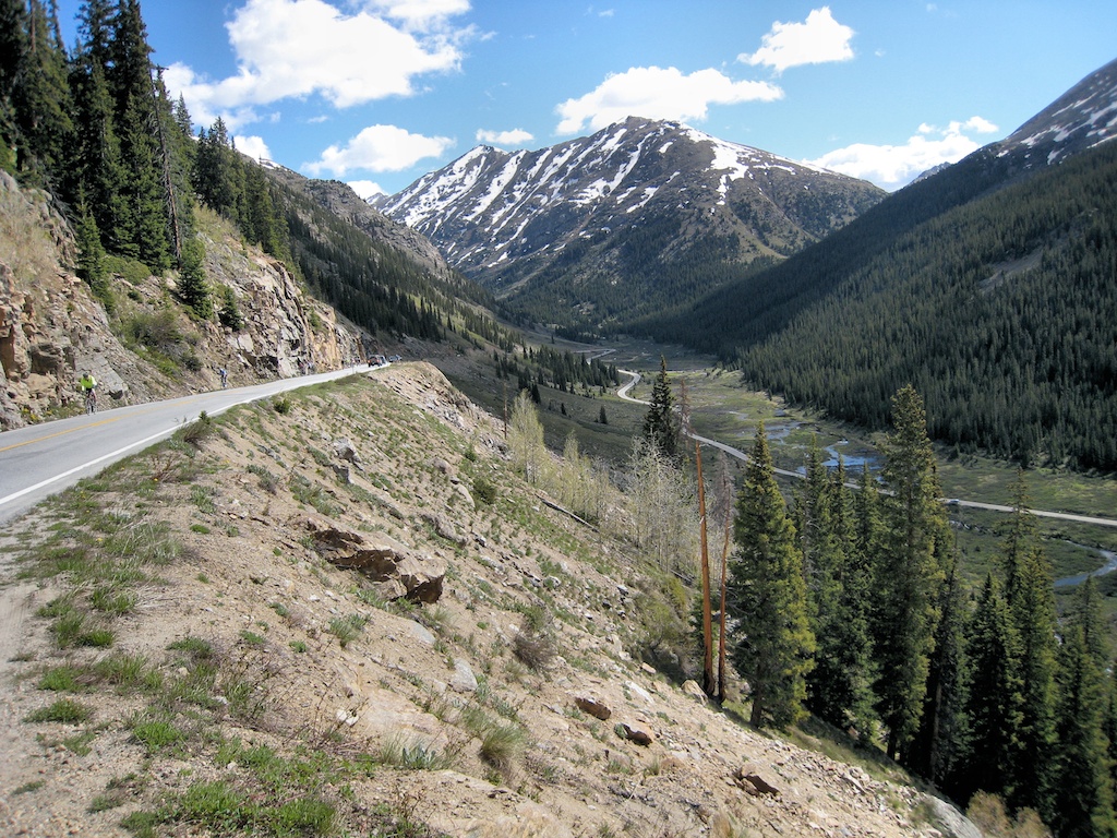
At an elevation of 12,095', Independence Pass is the 4th highest paved road in Colorado. This ride is from Twin Lakes to the summit and back; a 35-mile round trip with 3,100' of climb (including 500' on the return) that consists of about 13 miles of rolling climbs through a valley and then 4 miles of steeper climbs and switchbacks to a summit well above the tree line. Expect snow on the ground in June and maybe July!.
For a real challenge, continue over the summit and ride 18 miles down the west side to Aspen and back up; adding 36 miles and a whopping 4,400' of climb ba
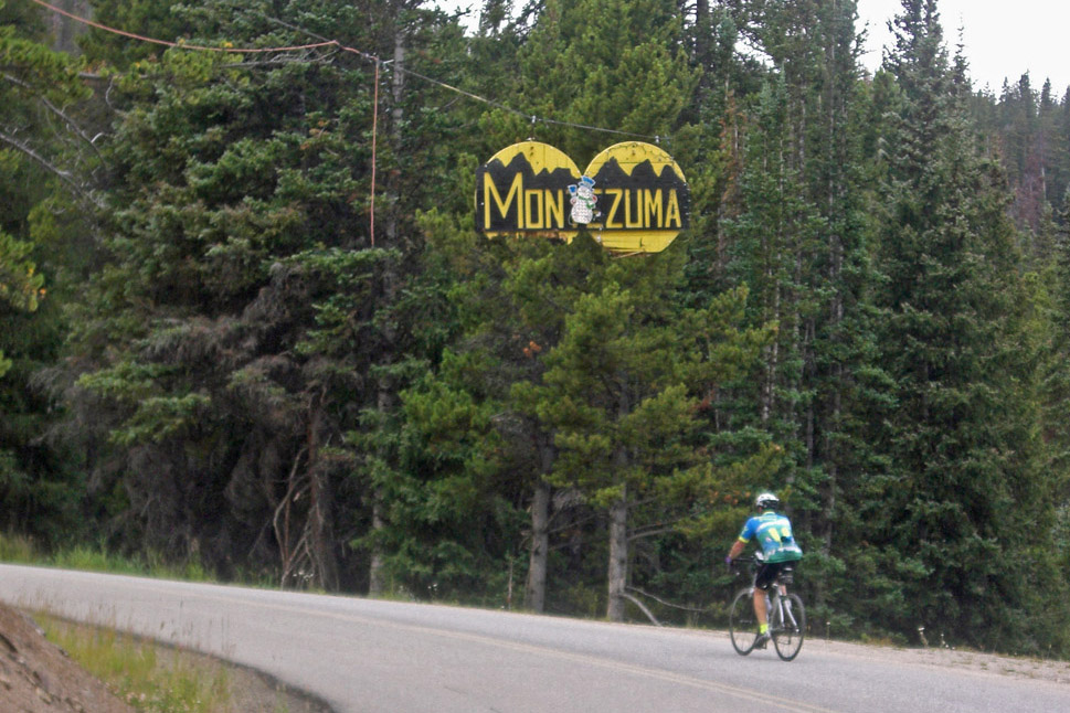
This is a scenic 11-mile out & back round trip with about 900' of climb on Montezuma Road starting from the River Run base area in Keystone.
Montezuma was settled in 1860. Just upon reaching the town, you will see a wooden sign that reads Montezuma. This town is over 10,000 feet in elevation and is tucked nicely away in the forests.
The road has very little traffic and parallels the Snake River with cascades, beaver ponds and other sights along the way. Most of the climb is in the last mile up to the old mining town.
Vail Pass Summit:
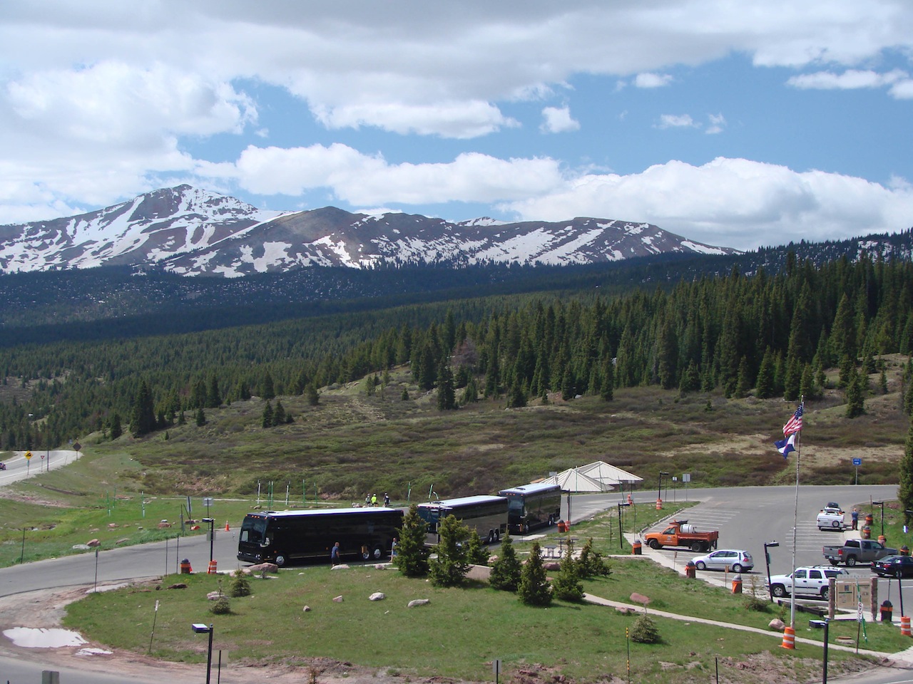
Vail Pass is the only Colorado mountain pass with a bike path the entire distance on both sides, making for a wonderful ride. It can be reached from anywhere in Summit County and offers two distances and difficulties depending upon whether you ride just to the summit or also down the west side to Vail itself and back.
The ride to the summit is 24 miles and 1550' of climb round trip from Frisco. Riding from Breckenridge adds about 18 miles and 500' of additional climb, mostly a relatively gentle grade from Frisco back to Breckenridge. The ride becomes difficult toward the top of the pass with 3 relatively steep, short switchbacks but is a moderate climb from Frisco to Copper.
From Frisco, follow the paved path from the west end of town through Ten mile Canyon for 6 miles to Copper Mountain Resort. This is a continuation of the path from Breckenridge. The trail is hidden in the woods in Ten-Mile Canyon. Climb another 2 miles to where the path flattens out and Beaver ponds are on either side. Go another 2 miles to a parking area and a gas station cross the road into Copper Mountain Resort.
The route continues 2 miles along Copper Road to the west end of the resort where the paved path picks up on the right and continues for 4.5 miles through the valley between I-70's east and west bound lanes to the rest area at the summit.
Get out a rent a bike, take a bike tour or bring your own bike, experience Colorado.
ck up from Aspen for a total of 73 miles & 7,600' of climbing.


